I’ve had lots of good weather on fell runs recently, and so it occurred to me that a bit of navigation practice probably wouldn’t hurt. Saturday’s forecast looked a bit benign, but Sunday was wet and windy and I desperately tried to stay in bed. Becs eventually stole the duvet and so I drove up to Bleaklow: an area notoriously difficult to navigate, and somewhere I’d never been before.
The day started exactly as planned – it was raining at Birchin Clough Bridge, and within 100m of leaving the car I ran straight into a big fuzzy cloud. Perfect weather for testing my skills with a map and compass.

Bleaklow. Doesn’t give you much to work with. © Haydn Williams 2015
I didn’t really have a route in mind so headed for a spot height first of all, then a stream meeting the River Alport. I didn’t follow my bearings exactly, because detours were taken around numerous hares and a couple of pairs of Canada geese. When I got to the river it was massively in spate and there was no chance of me crossing. I headed north via a little lake, in the hope of finding somewhere else to cross.
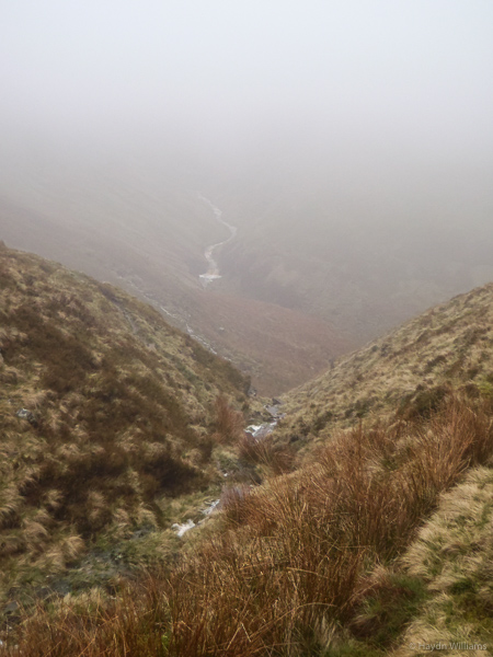
Alport Dale. There’s a river down there somewhere. © Haydn Williams 2015
Unfortunately it didn’t get any easier, so I trudged still further north and eventually got across. Here I reached the section of map designed by the least imaginative cartographer ever: I crossed “The Swamp” to gain “The Ridge”, and from there down to a stream junction at the top of the River Westend.

Well, this should be a doddle. © Haydn Williams 2015
After that it was more climbing to a spot height and then Bleaklow Stones, where the cloud lifted, then along the top via a knoll and a boundary to Bleaklow Head. The only navigational slip-up was within 300m of Bleaklow Head when I got a classic case of “I’m almost there now, I can stop paying attention.” and wandered off line.
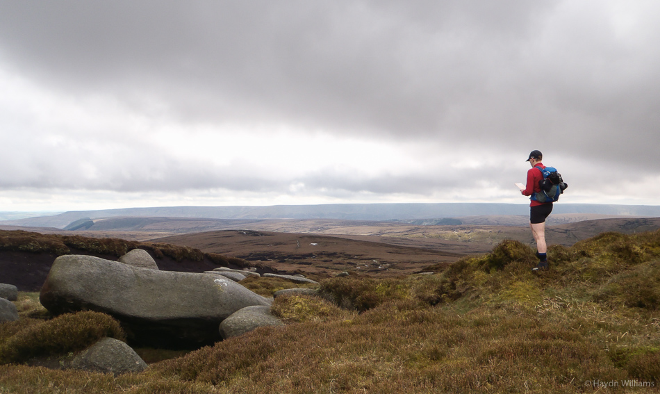
View from Bleaklow Stones. © Haydn Williams 2015
Navigation over, it was straight down the Pennine Way towards Snake Pass, and then Lady Clough back to the car. I assumed the Pennine Way would be slabs throughout, but the top section actually gave some fairly technical running. The day came to just shy of 12 miles, and thankfully there were no major wayfinding stuff-ups. Let’s hope that keeps the map-reading Gods happy for a while, and I continue with sunny runs for the foreseeable future.